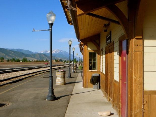
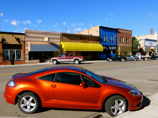
The state of Utah has had a lot of posts devoted to it on the blog, so I will keep the text in this one to the bare minimum. The first photo is of Heber City.
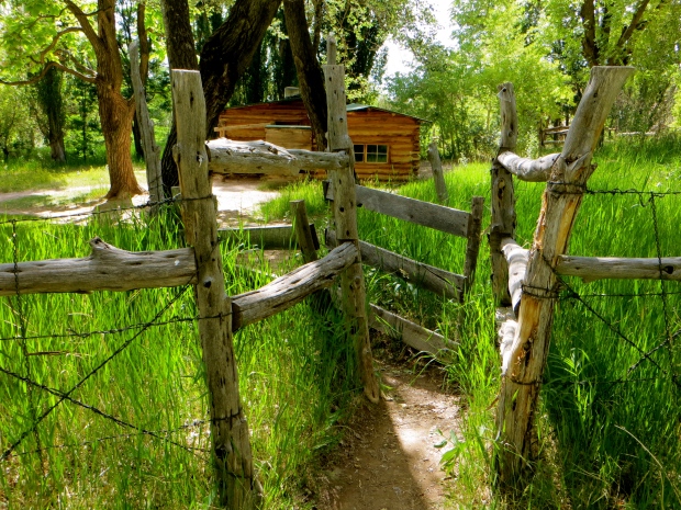
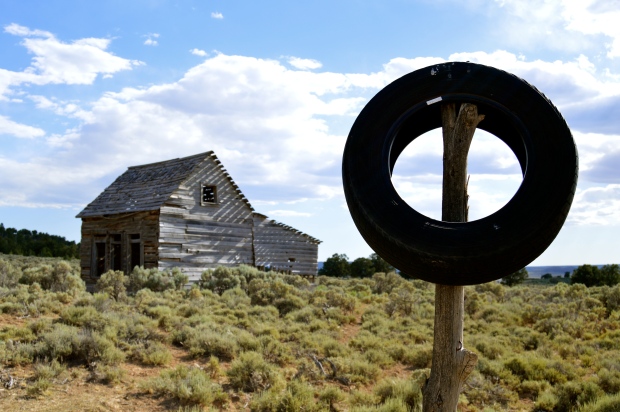
The next photo is of the Josie Morris Cabin close to Cub Creek in Dinosaur National Monument. Until 1963, Josie Morris lived in the cabin where she raised livestock and grew a few crops. Fencing, trees planted to provide fruit and shade, a second wooden building and the traces of other small wooden structures near a pretty pond confirm that Morris was determined to remain for as long as she could in her peaceful but lonely outpost, and she did so for over 50 years without plumbing, electricity or immediate neighbours.
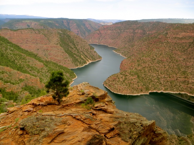
The next two photos are of Flaming Gorge Recreation Area/Red Canyon Overlook.
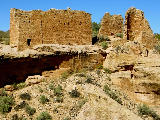
The next photo is of Hovenweep National Monument. The canyon and mesa country north of the San Juan River possesses many archaeological sites where ancestors of today’s Pueblo people once lived. Round, square and D-shaped towers grouped at canyon heads confirm the existence of once-thriving communities. No one has lived in the communities for over 700 years, but their construction and location still inspire awe.
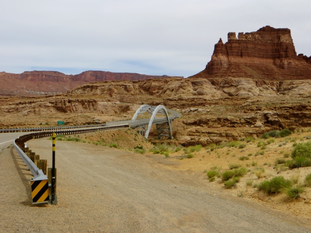
The next two photos were taken along Highway 95 on the way to Hanksville. The first photo is of White Canyon and the second is of a bridge crossing the Colorado River.
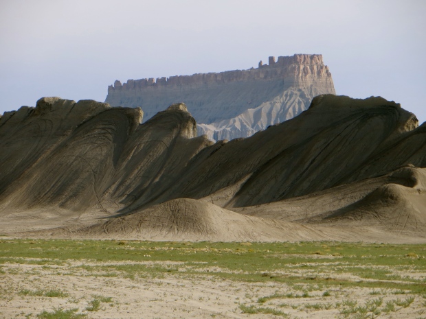
The next photo was taken along the highway between Hanksville and Capitol Reef National Park.
The next photo is of Widtsoe Junction, a ghost town near Bryce Canyon National Park. Sadly, not much of the town remains, only three or four wooden buildings and some fencing and corrals, but a few families live nearby, although in modern houses or trailers widely dispersed among the fields, scrub and trees.
We met a German couple also interested in ghost towns. We chatted a while, then Hilary and I drove along a nearby gravel road leading to the town’s cemetery. Suddenly things picked up considerably. Set among scrub and trees, the cemetery is attractive in appearance and intimate in atmosphere, by American standards at least. Among the graves and tombs of people buried between 30 and almost 100 years ago, infant twins were buried in 1999 and someone else was buried in 2011.
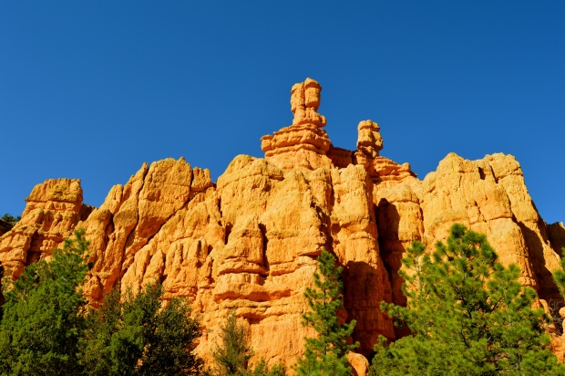
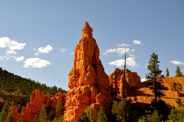
The next two photos are of Red Canyon near Panguitch. The spires, cliffs and hoodoos shelter some mature pine trees.
The evening of our visit, the rock formations glowed below a deep blue sky almost completely devoid of cloud. I walked along part of a trail that took me close to some of the spires and hoodoos. The trail was very quiet because Red Canyon cannot compare with nearby Bryce Canyon. However, Red Canyon shared with Bryce many of the same remarkable geological characteristics.
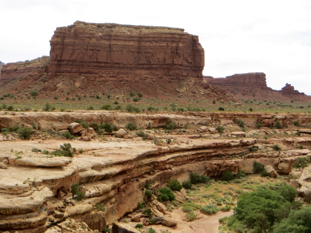
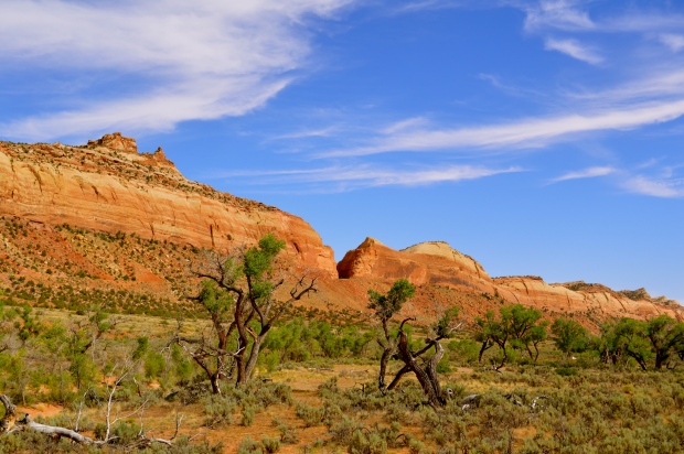
The next photo is of somewhere in southern Utah and typifies a lot of the landscapes that can be encountered simply by driving around with no particular destination in mind.
The next photo is of Salina between Richfield and Manti.
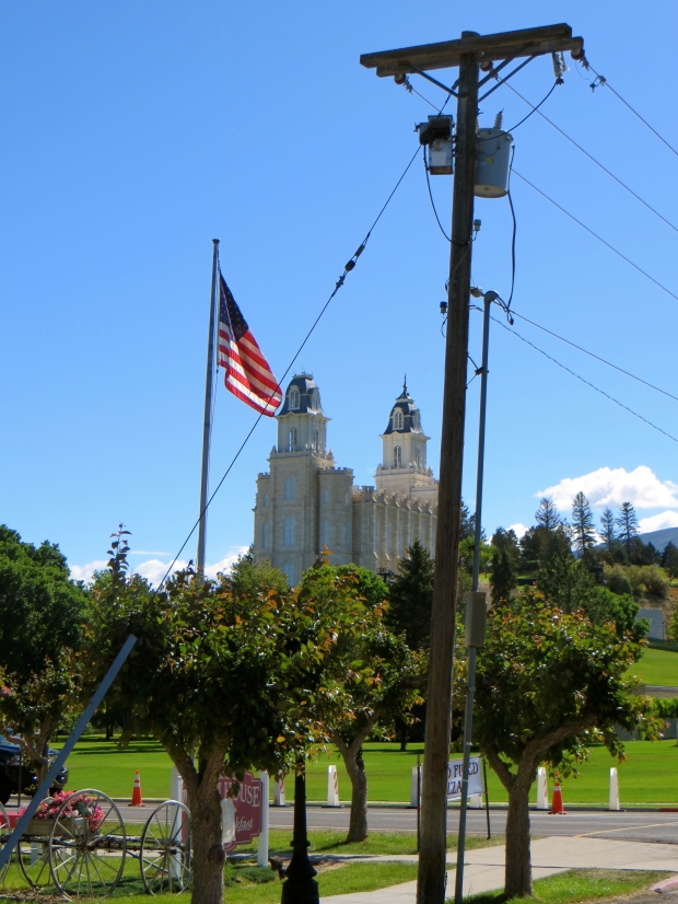
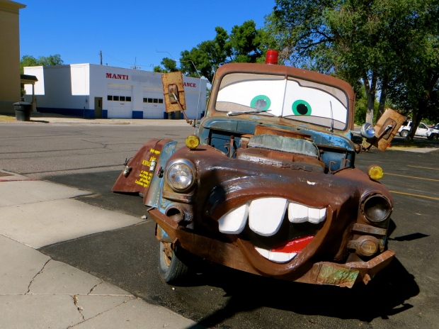
The next two photos are of Manti.
Manti was the prettiest, tidiest, cleanest, most prosperous and most economically vibrant community we encountered in Utah. Only Moab could lay claim to similar qualities, but, because Moab based its economic well-being firmly on the exploitation of tourists, there were aspects of the town we did not like. In contrast, Manti did things with far more taste and restraint. And why was this? Because the people it “exploited” were largely Mormons whom we knew to be overwhelmingly white, middle class, conservative and in sympathy with doing things the old-fashioned way.
Manti is dominated by its white hilltop temple, the fifth temple built by the Church of Jesus Christ of Latter-day Saints. Below the elegant temple is the South Lawn on which the Mormon Miracle Pageant is held every year in late June.
We arrived in Manti just as the final preparations were being made for the pageant. A vast number of seats were already on the lawn. They were arranged in rows, columns and blocks as if in a theatre. The pageant lasted two weeks and typically drew an average of 15,000 people a night for the eight nights that the performances took place.
The temple was completed in 1888. It was designed in a variety of styles including gothic, French renaissance, French second empire and colonial. Much effort was expended to ensure that the grounds around it always looked immaculate, with the result that you did not have to be a Latter-day Saint to enjoy a visit. The trees, lawns and flowerbeds were delightful, as were the views over Manti and the countryside surrounding it. Sadly, the only people allowed to enter the temple were Church members in good standing. Being neither Church members nor people in good standing, we were denied access.
The next photo is of Provo Courthouse.
The last two photos are of Salt Lake City.

