On the Road: Missouri

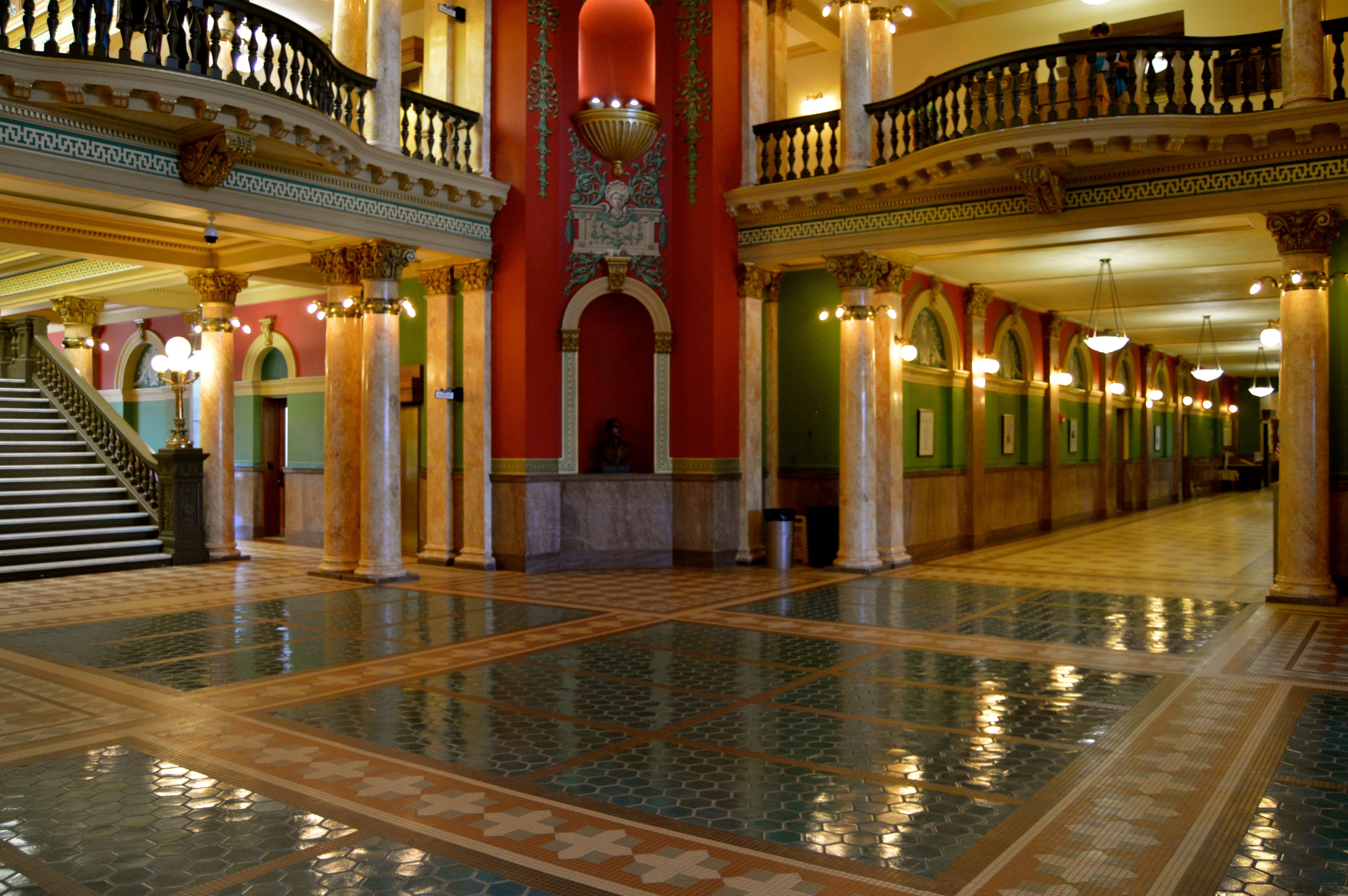
In St. Louis, Union Station (the part that is the main building of the old railroad station and not the part with the very ordinary shops, etc. under what remains of the vast shed that once covered the platforms) is a sublime example of architecture beautifully restored to its ornate and flamboyant best. Explore the enormous waiting room and the hallways and dining room that now form part of the Hyatt Hotel. Staff throughout the complex are happy to accommodate people who appreciate the magnificent building in which they work.

Union Station/Hyatt Hotel, St. Louis, Missouri

Union Station/Hyatt Hotel, St. Louis, Missouri

Union Station, St. Louis, Missouri

Union Station, St. Louis, Missouri

Union Station, St. Louis, Missouri

Union Station, St. Louis, Missouri

Although the cafes, bakeries and residential streets of the Hill were enjoyable to examine and spend time in, our visit to Zia’s, reputedly one of the area’s best restaurants, was a disappointment other than in the case of the deep fried (toasted) ravioli. However, Ted Drewe’s Frozen Custard (frozen custard is ice cream) was excellent (we visited the branch of Ted Drewe’s at 4224 South Grand Boulevard). Also excellent was the free guided tour around the Anheuser-Busch Brewery. Some of the brewery’s buildings were notable from the architectural point of view (e.g. the stables) and a few had been lavishly decorated with statues, ceramic tiles and heroic scenes painted by gifted artists.

Near The Hill, St. Louis, Missouri

Near the Hill, St. Louis, Missouri

Anheuser-Busch Brewery, St. Louis, Missouri

Anheuser-Busch Brewery, St. Louis, Missouri

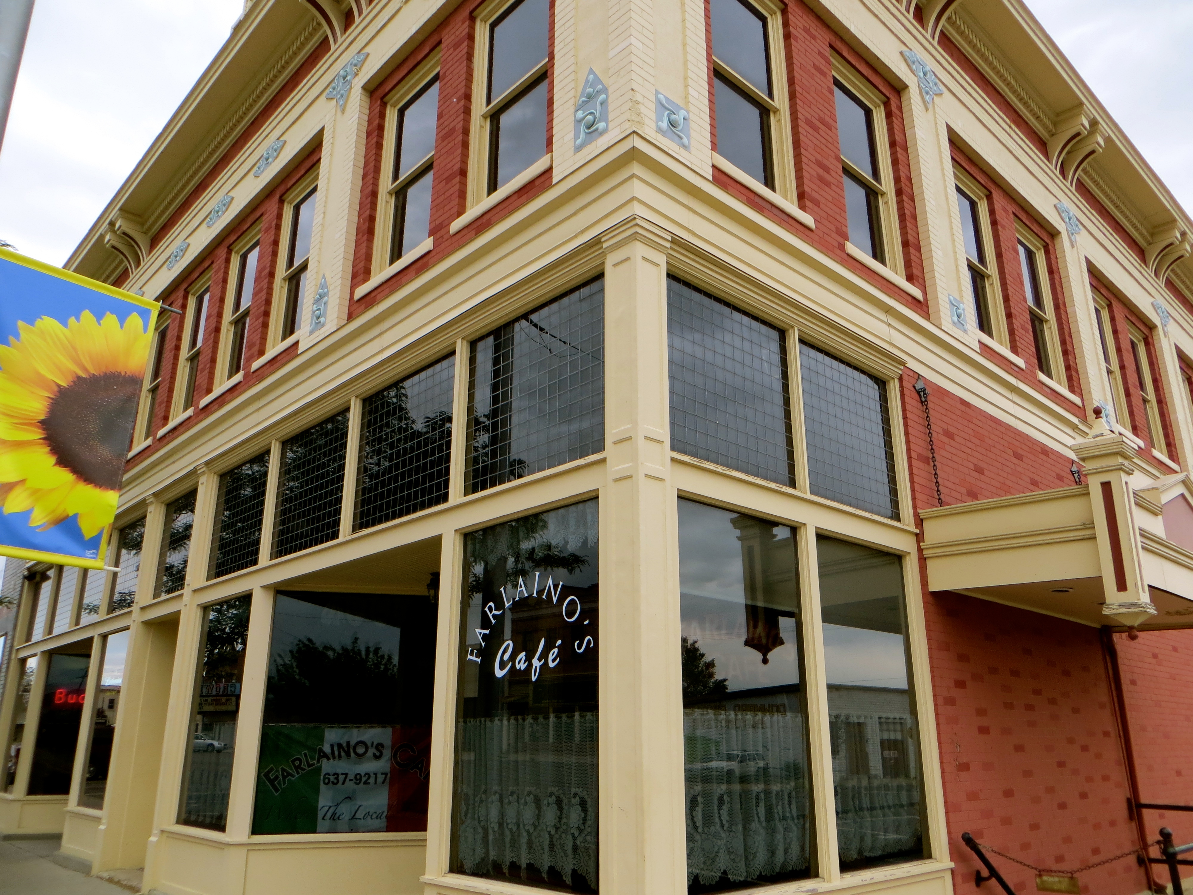
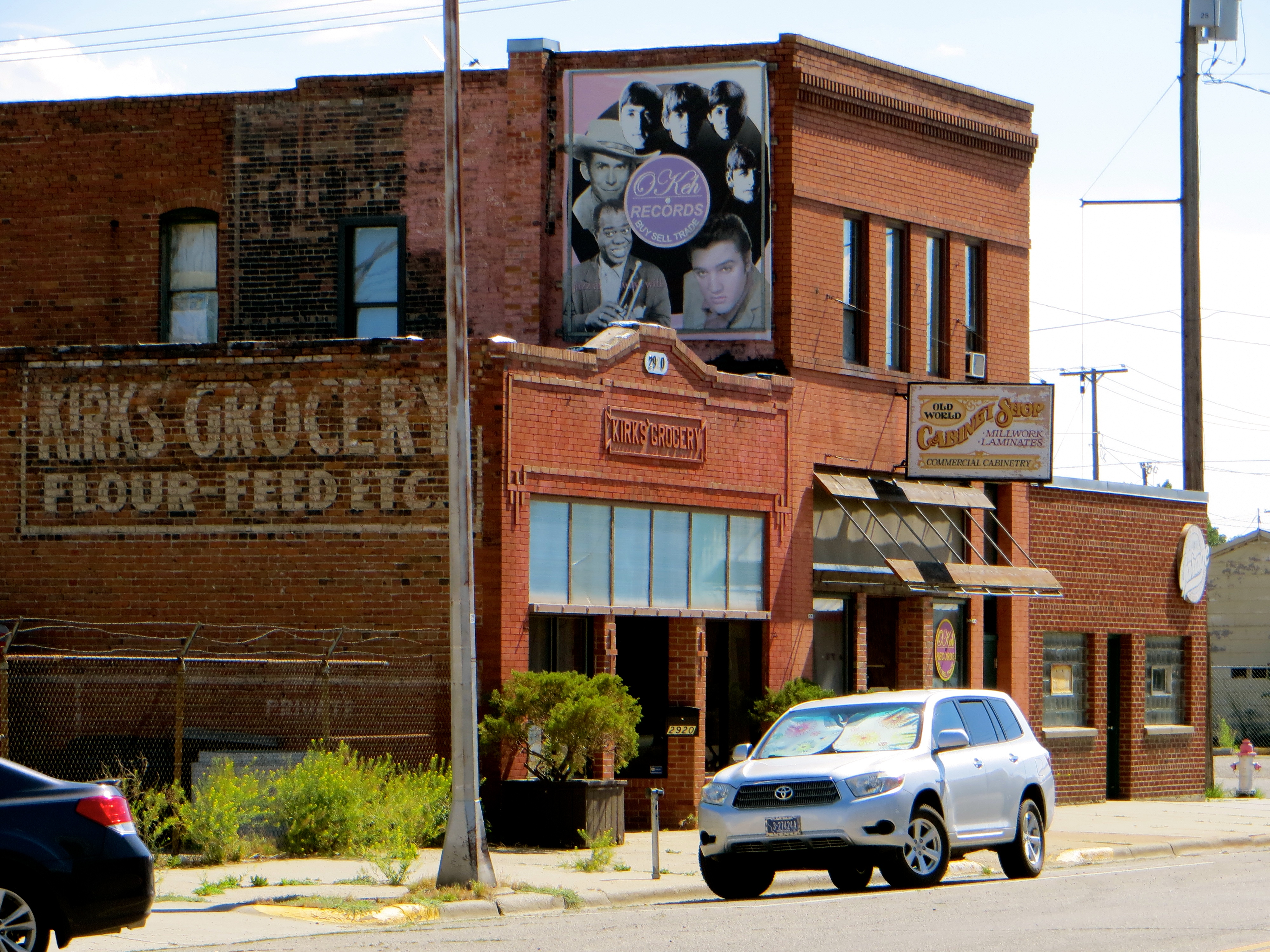
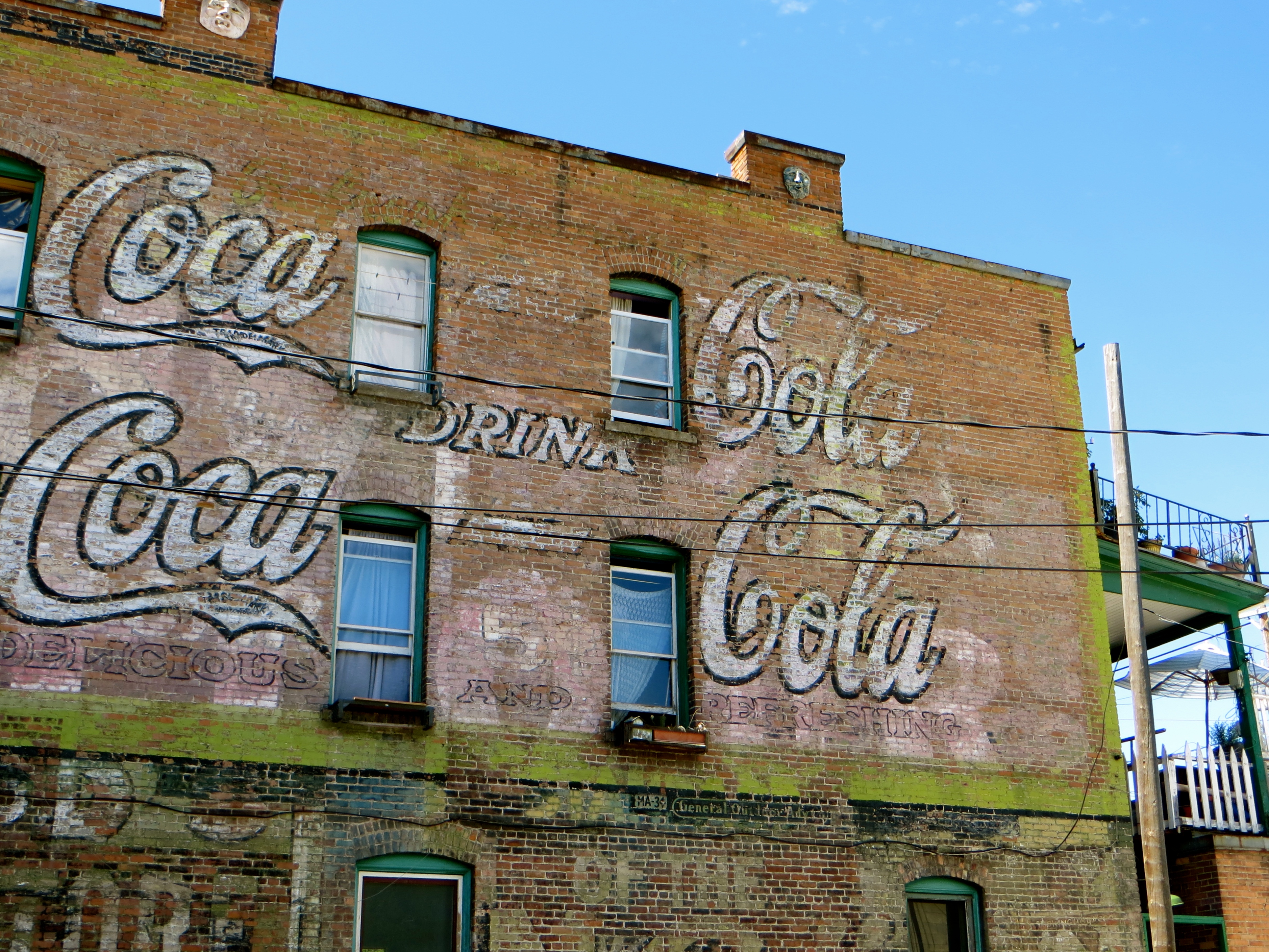
Soulard Farmer’s Market is worth a look because of the interesting building it occupies, but our favourite suburb is Lafayette Square about a mile to the west. Lafayette Square used to be very rundown, but it has benefitted from people who appreciate the beauty of the late 19th and early 20th century houses and small industrial and commercial buildings. The area has a bohemian atmosphere. There are many good cafes, bars and restaurants, and lots of places where people can park for free.

If you have a car, Arsenal is a fascinating street to drive along because it connects, with just a small detour or two, all the interesting suburbs of Soulard (at the east end), Lafayette Square, Grand South Grand and the Hill (at the west end). It is worth examining the area around Tower Grove Park; some of the streets are edgy and others are prosperous and relaxed. Gravois is another good road to drive along. Also go to Benton Park and track down Lamp/Cherokee Historical District south-west of Soulard.

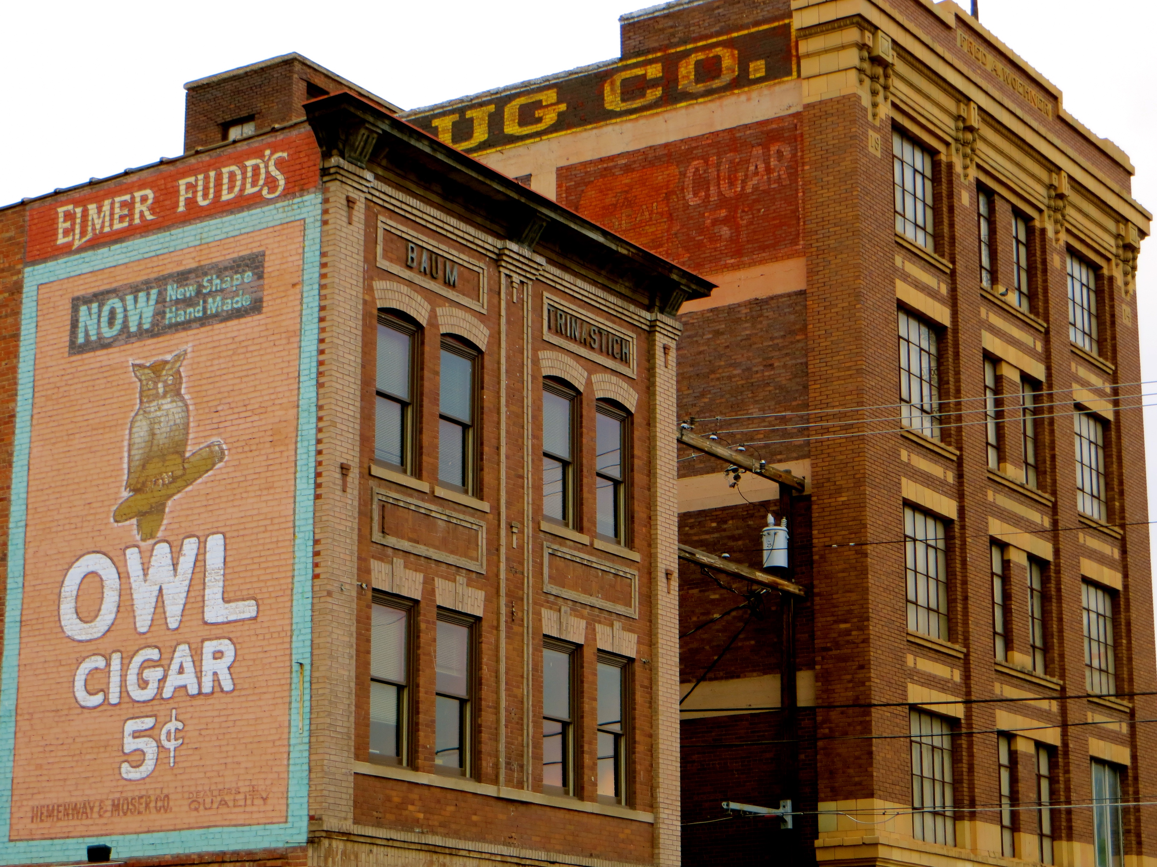
Interesting buildings, etc. not mentioned above include Gateway Arch, Museum of Westward Expansion, Busch Stadium (home of the MLB St. Louis Cardinals), Forest Park, World Fair Pavilion, Old Cathedral and Edward Jones Dome (home of the NFL St. Louis Rams). It is worth getting off the light rail system the first station you come to in East St. Louis after crossing the Mississippi because the road beside the river provides excellent views of the St. Louis downtown skyline and interesting industrial and commercial buildings in East St. Louis (the East St. Louis buildings include silos and elevators).

Downtown, St. Louis, Missouri

Downtown, St. Louis, Missouri

Downtown, St. Louis, Missouri

Downtown, St. Louis, Missouri

We broke the journey between St. Louis and Kansas City at Boonville. Boonville has many attractive old buildings, a few interesting churches, bridges over the Missouri River and the delightful Frederick Hotel on Main Street. Almost opposite the hotel is an unmodernised diner. A short walk along the same side of the street is Napoli Cafe, a very good place for hot and cold drinks, pasta, pizzas and full meals until about 9.00pm.

Boonville, Missouri

Boonville, Missouri

Boonville, Missouri

Boonville, Missouri

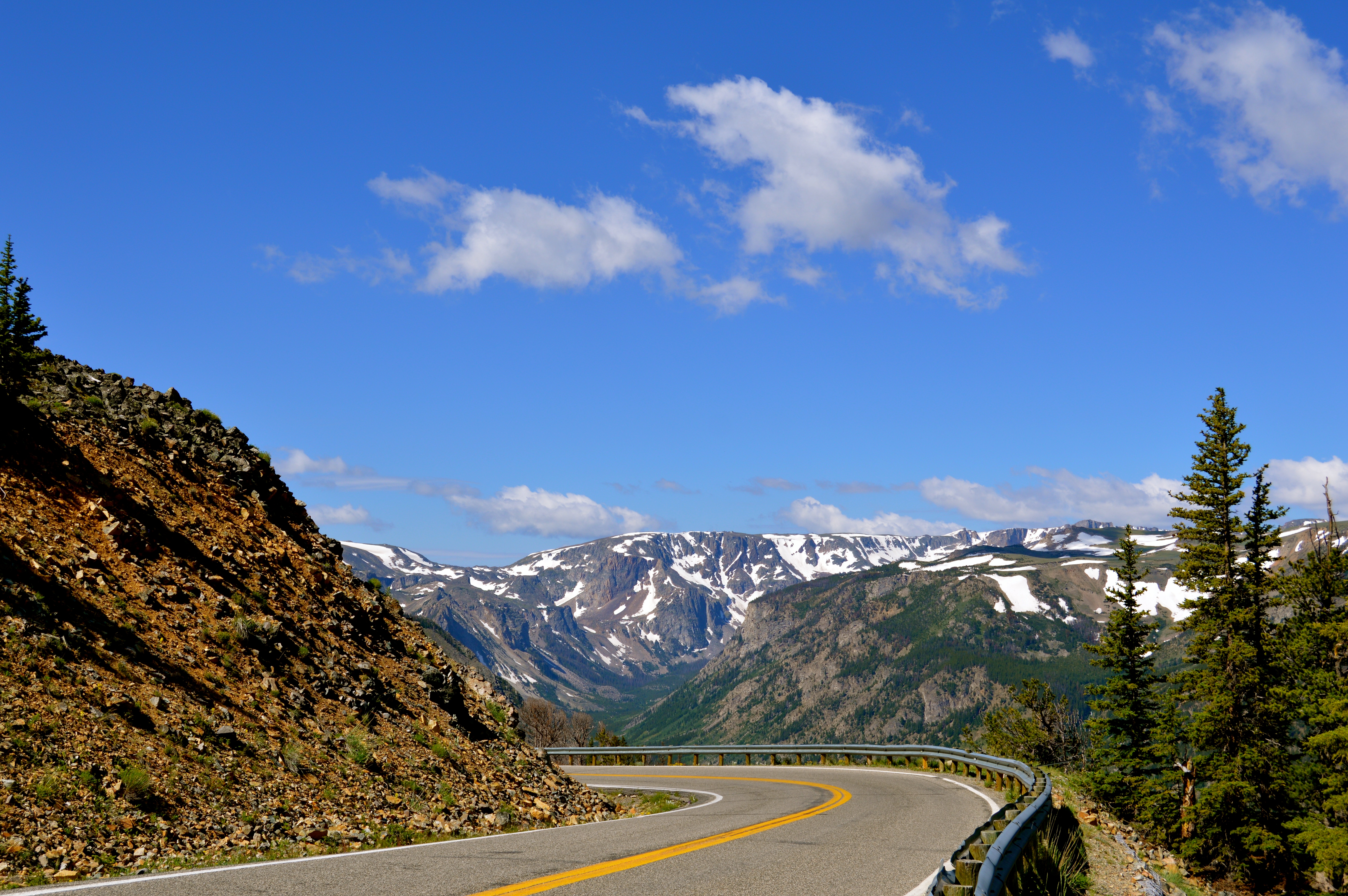
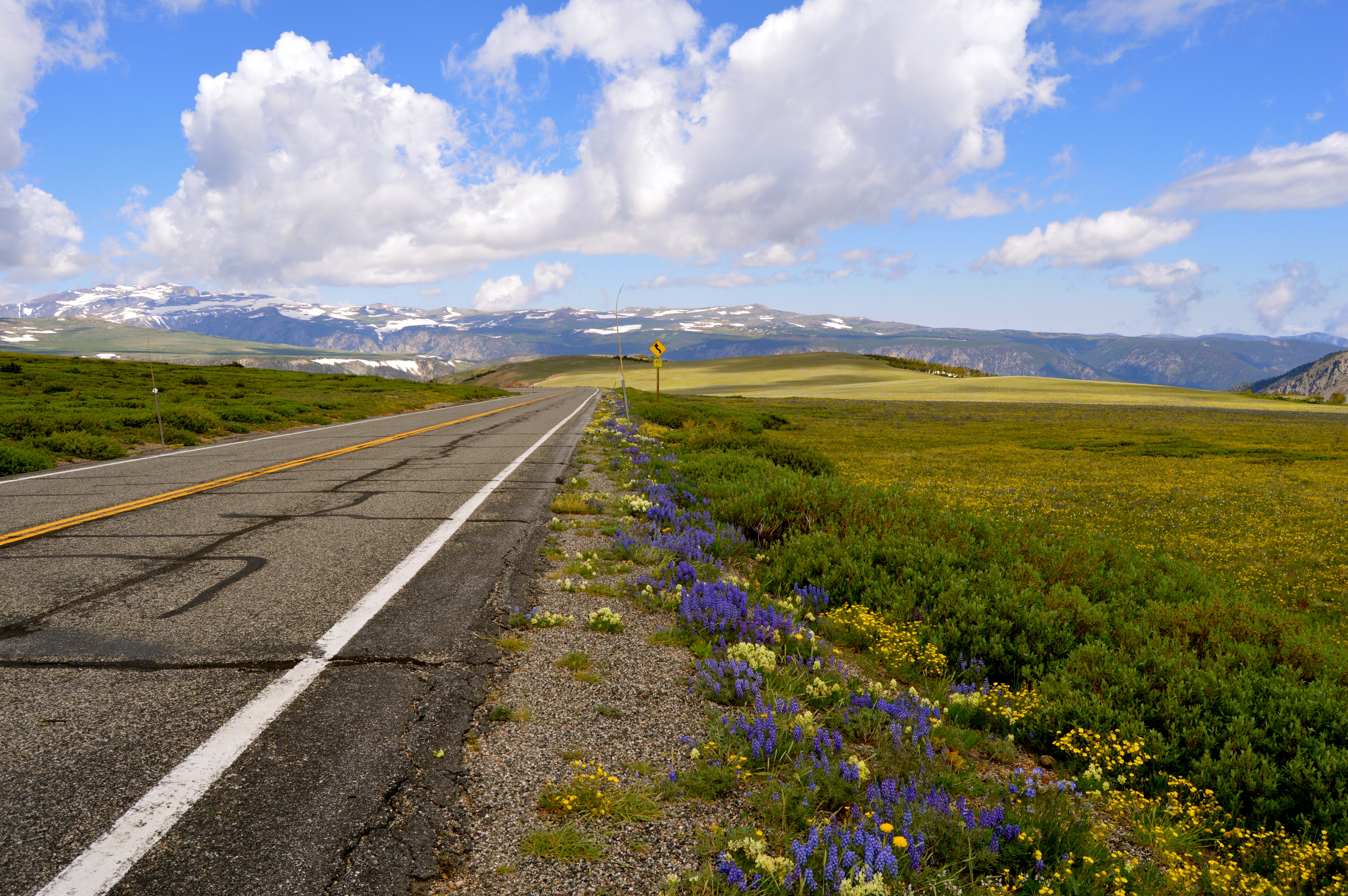
Boonville is an excellent town to connect with the Katy Trail, which is about 200 miles in length. The Katy Trail encourages visitors to explore the attractive Missouri countryside on foot or bicycle by following an old railroad bed. Just west of Boonville is Katy Bridge, a long-disused steel girder railroad bridge crossing the Missouri. It makes an impressive sight.

Katy Bridge, Boonville, Missouri

Katy Bridge, Boonville, Missouri

Boonville is a wonderful place in which to relax for a day or two so that visitors can connect with small-town America.

Barbecue is excellent in Kansas City. Consequently, we tried Gates, 3201 Main Street (this branch has beer on draft. There is also a nice bar attached to the restaurant where customers can relax before or after eating) and Arthur Bryant’s, 1727 Brooklyn Avenue (Arthur Bryant’s is ideal before or after visits to the American Jazz Museum, which we found rather disappointing, and the Negro Leagues Baseball Museum, which was extremely interesting). Arthur Bryant’s just pipped Gates for the quality of its food, but both were outstanding experiences. Consider ordering a pitcher of beer at Gates. Mains at both restaurants cost from $7 for sandwiches to about $22 for plates that can easily feed two people.

Downtown, Kansas City, Missouri

Downtown, Kansas City, Missouri

Downtown, Kansas City, Missouri

Downtown, Kansas City, Missouri

Most of the Westport cafes and restaurants look tired and unappealing, but Broadway Roasting Company at the corner of Westport Road and Central is excellent for coffee, other drinks (hot and cold) and light snacks. A much more interesting area to visit for shops, cafes and restaurants is West 39th Street Entertainment District a stone’s throw from the border between the states of Missouri and Kansas. Try Fric and Frac, 1700 West 39th Street, for a great local bar with very good pub grub including Mexican options. On tap are beers deriving from the Boulevard Brewery. In other words, Fric and Frac has beers with more substance and character than Budweiser.

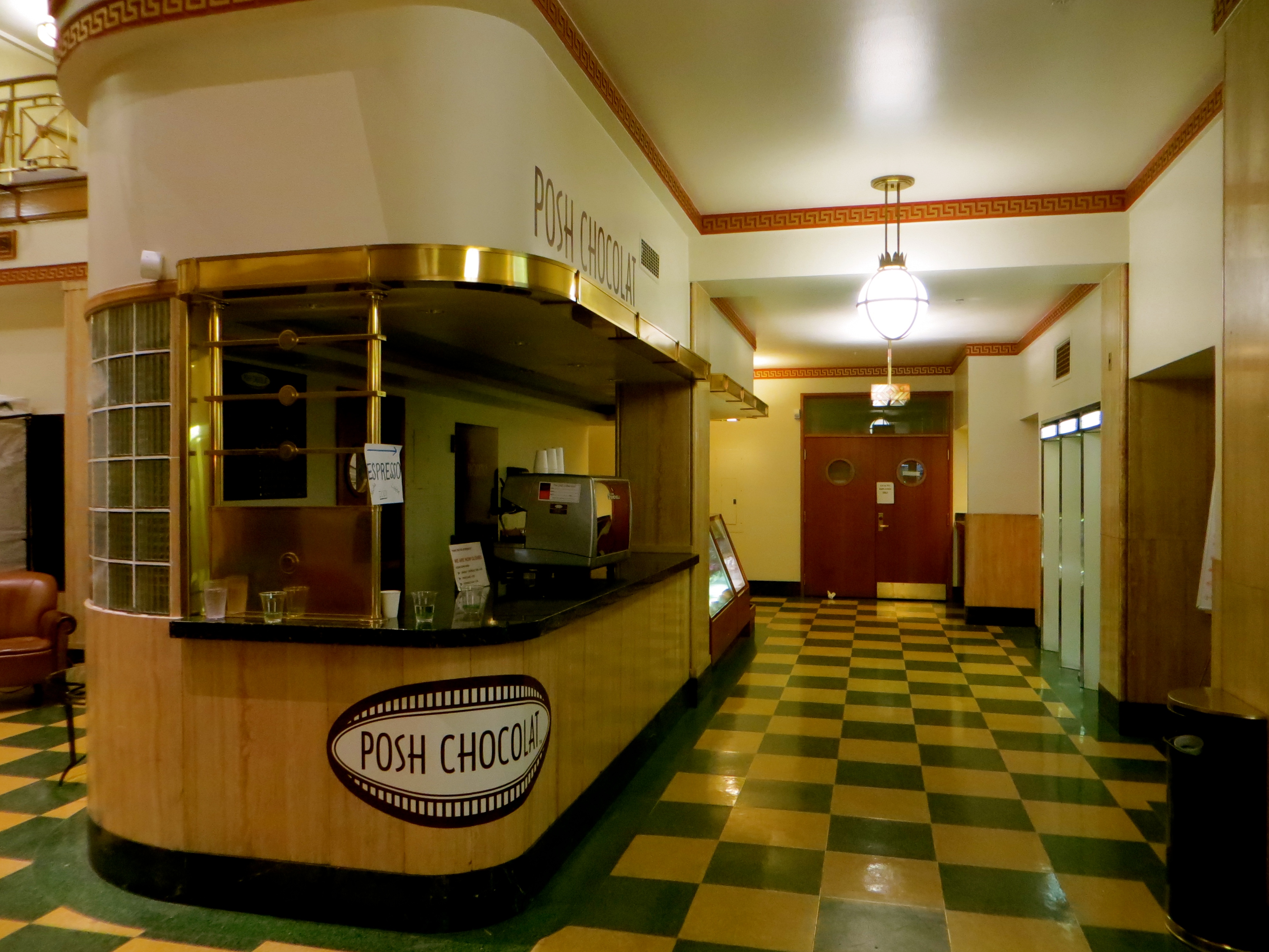
The home of Hallmark Cards is in Crown Centre, a large shopping mall with restaurants, hotels and offices. Other than a waterfall descending through part of one of the hotels, the mall is of very little interest, but restored Union Station nearby is an absolute must-see. The beauty and grandeur of the station are amazing, as is the quality of the ornamentation. There are a few shops and restaurants worth examining. Some of the latter are excellent without being prohibitively expensive. If desperate for steaks or seafood, try Pierpont’s which has a happy hour from 4.00pm to 6.00pm from Monday to Friday. Steaks cost from $20. The restaurant has sublime interiors. Steaks in Kansas City are much better value than in New York.

Union Station, Kansas City, Missouri

Union Station, Kansas City, Missouri

There are many interesting fountains and water features to examine around the city, the Muse of Missouri in downtown being one of the most famous. But it is also worth locating the Vietnam Veterans’ Memorial in Westport and Neptune Fountain in Country Club Plaza. The fountains in front of an entrance to Crown Center are ultra-modern and great fun for children.

Vietnam Veterans' Memorial, Westport, Kansas City, Missouri

Vietnam Veterans’ Memorial, Westport, Kansas City, Missouri

Downtown, Kansas City, Missouri

Downtown, Kansas City, Missouri

Neptune Fountain, Country Club Plaza, Kansas City, Missouri

Neptune Fountain, Country Club Plaza, Kansas City, Missouri

Vernal and Price, Utah

Although both ends of Vernal’s Main Street are blighted with shopping precincts and unattractive modern kipple, Main Street in downtown is instantly appealing. Mature trees grow along the sidewalks and overlooking the sidewalks are many landmark buildings, most of which have been built with brick and stone.

Vernal, Utah

Vernal, Utah

After eating, we went for a walk to help digest the food. It was 13th June, so the sun was not setting for another two hours. We confined our walk to Main Street where we examined the landmark buildings (e.g. the one-time Bank of Vernal, Utah Field House of Natural History and St. Paul’s Episcopal Church) and the statues and pictures of dinosaurs. We liked the mature trees and colourful flowers, the latter in large tubs or hanging baskets. Most downtown business premises were occupied and seemed to be doing quite well. Vernal seemed content with itself and the world more generally.

Vernal, Utah

Vernal, Utah

I went in search of landmark buildings. This being Utah, the Church of Jesus Christ of Latter-day Saints (LDS), to give the Mormons their official title, had a big presence locally, so I first went to find some notable LDS buildings. Such buildings in Utah were often off Main Street in leafy residential areas a few blocks from the middle of downtown, as was the case in Vernal. Vernal’s very attractive temple occupied a pre-existing LDS building completed in 1907. It was adapted to meet contemporary LDS needs in the 1990s. Nearby was an old LDS seminary and the Western Heritage Museum. Among other things, the museum celebrated the lives of early Mormon pioneers.

Vernal, Utah

Vernal, Utah

In the centre of the town on one of the main crossroads was what used to be the Bank of Vernal, and to the east of the bank was a shop selling high quality Navajo jewellery, beadwork, rugs and household items. Outside the shop was a large wooden statue of a Navajo male. Statues of dinosaurs made with what looked like fibre-glass came in various sizes, but the best was the largest. It stood upright on its hind legs. It looked like an extra in a cartoon such as “The Flintstones”. Downtown had its share of attractive old signs attached to the walls of buildings so they hung over the sidewalk to advertise businesses long gone or still operating and, a block south of Main Street, the tiny office of the Greyhound bus company was next to a laundrette. As I passed the Greyhound office, a bus for Reno pulled away with only seven passengers aboard.

Vernal, Utah

Vernal, Utah

Vernal, Utah

Vernal, Utah

Vernal, Utah

Vernal, Utah

Vernal, Utah

Vernal, Utah

We drove to Price where we took a room in the excellent Legacy Inn, which was beside the railroad and only a ten minute walk from downtown.

It was Fathers’ Day and some of the restaurants in Price were offering special deals to attract extra customers. We opted for a Mexican meal in a restaurant just to the east of downtown. This necessitated a drive, but we were not unduly worried because we knew the restaurant did not serve alcohol. Hilary had iced tea and I had a large glass of horchata. After eating, I went for a walk around downtown where landmark buildings (e.g. a delightful corner structure now operating as Farlaino’s Cafe, an art moderne bank and two cinemas), ghosts signs and painted adverts were sufficient in number to justify an amble lasting over an hour. Some very poor people walked aimlessly around and two asked for money for food or drink, but there was no danger or risk.

Price, Utah

Price, Utah

Price, Utah

Price, Utah

Price, Utah

Price, Utah

Price, Utah

Price, Utah

Price, Utah

Price, Utah

Billings, Montana

We arrived at the northern outskirts of Billings. Because of the amount of traffic on the roads, it felt like a big city. However, it was not as large as Salt Lake City, which had about double the population of Montana’s largest settlement.

Billings, Montana

Billings, Montana

We stayed two nights in the Western Inn, which had a few advantages other than being clean and run by very friendly people. Historic downtown, centred on Montana Avenue, was less than a mile away, a walk of five minutes led to two micro-breweries, the railroad and a large marshalling yard were two blocks to the south and the delightful residential streets of Yellowstone, Wyoming and Clark were about three blocks to the west. Less than a two minutes walk from the motel was Moss Mansion Museum housed in one of Billings most elegant old houses.

Billings, Montana

Billings, Montana

Billings, Montana

Billings, Montana

Billings, Montana

Billings, Montana

Billings, Montana

Billings, Montana

For my first walk around downtown but with the temperature just exceeding 100 degrees fahrenheit, I concentrated on the Montana Avenue area near the city’s old railroad depot and its related structures, and crossed the railroad tracks to look around the slightly more edgy and rundown area around 27th Street, Minnesota Avenue and 2nd Avenue South. South of the railroad, a few landmark structures mingled with old commercial and industrial buildings, a very large thrift store and a rescue mission.

Billings, Montana

Billings, Montana

Billings, Montana

Billings, Montana

Among the landmark buildings north of the railroad were Western Heritage Centre, housed in what used to be Parmly Billings Library; Billings Depot and its one-time lunchroom, mail building and office building; an art moderne bus station almost exactly the same as the one in Great Falls; and Northern Hotel. The original Northern Hotel was destroyed by fire in 1940, but it was rebuilt and re-opened the following year. The hotel shut in 2006, but was sold at auction in 2009. Since then, it has been given a remarkable makeover. Many people think it is now the best hotel in Montana.

What I liked the most about the Northern Hotel were the bar, the diner and the lobby on the ground floor, all of which have many design features evoking the 1940s and 1950s. There was also a stunning two-leaf stainless steel doorway framed by the square blocks of glass that many people have in their bathrooms, often as partitions or to enclose the shower. The doors had steel stalks of corn welded to the handles.

Northern Hotel, Billings, Montana

Northern Hotel, Billings, Montana

Billings had many interesting bars, most of which had elaborate metal signs and bright lights hanging over the sidewalk, and there were dozens of interesting ghosts signs and painted adverts. The city also had plenty of interesting places in which to eat and drink.

Billings, Montana

Billings, Montana

Billings, Montana

Billings, Montana

I went for a walk toward the railroad. I passed a hotel sub-divided into three parts where some of the guests were engaged in discussions outside their rooms. Every so often, someone disappeared into a nearby casino before re-emerging a few minutes later to drop off small packages to the guests who still loitered in the fresh air. It was obvious that drug deals were taking place. Nearby, two massage parlours, one of which offered “oriental massage”, had signs that said they operated 24 hours a day, which suggested that both were fronts for brothels. Also not far away were two blocks of “apartments” that were really no more than motel rooms spread over two floors. The “apartments” were rented by people, families included, for whom the American dream had so far proved illusory, perhaps above all because of disadvantage and discrimination. Despite trying to keep their hopes alive and expending vast amounts of energy and effort, such people were living on the poverty line. In reality, they were never going to realise the American dream. Nor were the vast majority of their fellow citizens.

It was interesting to note that the majority of the people who rented the “apartments” or the rooms in the rundown motels near the Western Inn were white Americans, the very people for whom the American dream was meant to be easiest to attain. Also, although a few first people, African Americans and Hispanics were among the homeless and therefore dependent on the shelters and refuges that we had seen in almost every population centre exceeding 20,000 people, a majority were white Americans. When first people and Hispanics encountered hard times, they could usually rely on support from within their own community. Such support for white Americans and African Americans more often derived from religious groups or charities.

Billings, Montana

Billings, Montana

Billings, Montana

Billings, Montana

Billings, Montana

Billings, Montana

Billings, Montana

Billings, Montana

Red Lodge, Montana and the Beartooth All American Road, Montana and Wyoming

Despite being a staging post for visitors making their way to natural wonders such as the Beartooth Mountains, Gallatin National Forest, Yellowstone National Park and Grand Teton National Park, Red Lodge is the acceptable face of tourism because the tourist facilities do not obscure that Red Lodge is also a routine Montana settlement. Moreover, the tourist facilities present themselves in a manner characterised by restraint and good taste, for the most part at least. Broadway is the main thoroughfare and it has dozens of carefully preserved landmark buildings including hotels, shops, bakeries, cafes, bars and restaurants. There are lots of ghost signs, painted adverts and metal signs overhanging the sidewalks, and the Montana state flag is at least as popular as the stars and stripes. There is also a small elevator and silo beside what was once a railroad almost certainly connecting with the one from Laurel to Wyoming.

Red Lodge, Montana

Red Lodge, Montana

Red Lodge, Montana

Red Lodge, Montana

Red Lodge, Montana

Red Lodge, Montana

Red Lodge, Montana

Red Lodge, Montana

Red Lodge, Montana

Red Lodge, Montana

Red Lodge, Montana

Red Lodge, Montana

Work began on the Beartooth Highway, or what is now the Beartooth All American Road, in 1931 and was completed in 1936. The road begins to ascend almost as soon as it leaves Red Lodge, about 5,500 feet above sea level, and the remarkable views persist until it ends at the entrance to Yellowstone National Park about 70 miles away.

Beertooth All American Road

Beartooth All American Road

At first, the mountains into which we drove were clad with coniferous forest, but the highest peaks were snow-smudged rock faces devoid of vegetation. Rock Creek, which we had followed since Rockvale, poured downhill over boulders glistening in the water. We passed beside a large patch of fire-damaged forest. The fire must have been quite recently because there were very few signs of rejuvenation. Switchbacks and a steadily ascending road meant that we were soon very high. We overlooked valleys shaped by glacial activity.

We arrived at Rock Creek Vista Overlook, 9,190 feet above sea level, and could not resist taking photos from the trail that led about 800 feet from the car park. The trail terminated at a narrow ridge of rock with very steep drops on both sides, but, with no trees to obscure the views, it provided the perfect opportunity to admire the Beartooth Mountains, the highest in Montana (the highest mountain in Montana is Granite Peak at 12,799 feet).

Beartooth All American Road

Beartooth All American Road

Beartooth All American Road

Beartooth All American Road

We returned to the car and continued to ascend. All trees were soon behind or below us. Patches of snow and ice, permanent features at this altitude, increased in number and some were large. A few people skied across the largest patches, but many preferred to walk instead. We stopped the car a number of times, sometimes to engage with the snow and ice, but more often to admire the beautiful wild flowers that thrived in the mountains during the short summer season. Many of the flowers were alpines.

We chatted with someone who said that the road closed every winter. It had reopened only five weeks prior to our visit on 12th June. However, about a fortnight before our visit, the road had been forced to close again because of a very late snowfall. When we arrived at what was almost the highest point on the road, a heavy duty motor vehicle with an elongated scoop had been parked beside the road. It had recently been used to keep the traffic flowing.

Beartooth All American Road

Beartooth All American Road

Beartooth All American Road

Beartooth All American Road

Beartooth All American Road

Beartooth All American Road

We crossed the border into Wyoming and, a few miles further along, arrived at the highest point on the road, 10,947 feet above sea level. The views over the meadows, glaciers, snowfields and mountains were exceptional.

Despite encountering three or four lakes on the way to Beartooth Pass, the drive from Red Lodge had been dominated by extensive views over mountains, deep valleys and large forests. However, a landscape more intimate lay ahead because the patches of forest were smaller, rocky outcrops lay among lakes, meandering creeks made their way past meadows full of wild flowers and marshes had formed where the ground was level. High mountains, Pilot Peak included, dominated every view to the west and south. We stopped the car so Hilary could have a rest and, as she did so, I walked the short distance to a tall waterfall descending a mountainside at roughly 45 degrees from the perpendicular. Both near the waterfall and a little earlier when we had followed Clark’s Fork Creek, the road meandered into and out of Montana while spending most time in Wyoming. Deciduous and coniferous trees thrived side by side, thereby adding even more interest to the scenery.

Beartooth All American Road

Beartooth All American Road

Beartooth All American Road

Beartooth All American Road

Helena and Great Falls, Montana

We completed the drive to Helena, a city we warmed to immediately, not least because it was very easy to navigate. We also liked its pretty surroundings, small size, attractive residential districts around the Capitol, well-maintained open spaces with lots of grass and trees, and intimate downtown. Helena’s downtown had very few vacant lots and some streets defied the usual grid-iron symmetry, the latter because of the hills that enclosed it. There was also a pedestrianised main thoroughfare called Last Chance Gulch Street that looked and felt more European than American. To cap it all, we found a room in a downtown motel, the very good Budget Inn Express. The motel was owned by a very friendly woman who had just put the property on the market. “No, I don’t expect it to sell quickly. But I’m lucky. I’m not in a rush.”

Helena, Montana

Helena, Montana

Helena, Montana

Helena, Montana

Helena, Montana

Helena, Montana

Helena, Montana

Helena, Montana

Meandering Last Chance Gulch Street had a majority of Helena’s landmark buildings, buildings which included the usual mixture of one-time hotels, old stores, offices, bars, cafes and restaurants, but along Park Avenue and streets leading from it were more notable structures. Downtown was overlooked by Mount Helena from the west and the elegant Roman Catholic Cathedral from the east. The cathedral had an attractive choir and beautiful stained glass made in Germany. The railroad was some distance north of downtown and, that evening, we drove to the station, which was no longer served by Amtrak. We looked at the large marshalling yard nearby and the small historic district that lay along Railroad Avenue. We also drove to Montana’s State Capitol, parked the car in one of the nearby residential streets and admired the building externally and internally.

Roman Catholic cathedral, Helena, Montana

Roman Catholic Cathedral, Helena, Montana

Helena, Montana

Helena, Montana

Montana’s State Capitol commanded a panoramic view of the Helena Valley. What was to become Montana’s capital city began life as a mining camp in 1864. After Montana became a state in 1889, a battle for the permanent capital site ensued. With the support of William A. Clark, Helena defeated Anaconda, which was backed by Marcus Daly (both Clark and Daly were two of Montana’s famous copper kings).

Completed in 1902, Montana’s Capitol had been designed in American renaissance neo-classical style. It was enlarged with the addition of two wings between 1909 and 1912. The original part of the building was faced with sandstone and the two wings were faced with granite. In 1999 and 2000, the Capitol benefitted from a restoration and rehabilitation project that up-graded technology, added air conditioning and restored certain features to their original 1902 appearance.

The Capitol, Helena, Montana

The Capitol, Helena, Montana

The Capitol, Helena, Montana

The Capitol, Helena, Montana

We drove the short distance into Great Falls and took a room in the downtown O’Haire Motor Inn for $70 a night. The O’Haire had all the characteristics of a motel built in the 1950s or 1960s, so we were not surprised that it had opened in 1962. However, the rooms had been up-dated and up-graded in 2009. It was a full service property, which meant that it had a restaurant where guests could get breakfast, lunch or dinner. Upstairs was a bar called Sip n Dip Lounge that had a pool in which women dressed as mermaids swam a few evenings every week. The rooms and other facilities lay around an enclosed garage where guests could leave their motor vehicles, although no one in the early 1960s imagined that people would be daft enough to drive today’s enormous RVs, which cannot get through the low entrance to the parking area. If they so wished, guests could wash their cars because staff had provided a hose, buckets, sponges, rags and washing agents. Our room had a TV, a fridge, an iron, an ironing board hidden behind a mirror, a table and facilities to make coffee in the morning. Coffee and chilled water flavoured with lemon were available in reception, where guests could also use a microwave.

Central Avenue was the main thoroughfare in downtown. Although there were many vacant lots, downtown had a considerable number of landmark buildings, some of which had been built on a substantial scale. However, tall buildings were very rare. Some of the largest structures were warehouses and factories built beside or close to the railroad. The railroad had a significant presence in the city. Although the marshalling yard was on the west side of the Missouri River and therefore separate from downtown, tracks crossed the river to the western edge of downtown before some veered north and east along the Missouri and others veered south and east toward Billings. A branch from the main line to Billings led to Lewistown. Great Falls’ attractive railroad station lay immediately to the east of the Missouri River at the western extremity of downtown.

Perhaps because downtown in Great Falls was so large, it was not as popular with pedestrians as others we had already visited in Montana. But I think there were reasons other than mere size that explained why downtown in Great Falls was not very busy. First, the city was overwhelmingly a blue collar settlement in which the number of families with disposable incomes was relatively small. For this reason, downtown could not support the sort of up-market shops, bars, cafes or restaurants encountered in more prosperous towns and cities. Second, Great Falls had a Native American population of 5%. This may sound a very small Native American population, but, by the standards of most Montana settlements with a population exceeding 10,000 (Great Falls had an official population of about 60,000), this was large because most Native Americans in the state lived in very small settlements on or close to reservations. Sadly, a lot of Native Americans in Great Falls lived on or below the poverty line. Last, quite a large number of white Americans were also in poor shape economically, especially if they were middle-aged. In fact, quite a lot of such people, almost all of whom were male, were homeless and many had problems with alcohol, drugs or mental health.

Great Falls, Montana

Great Falls, Montana

Great Falls, Montana

Great Falls, Montana

Great Falls, Montana

Great Falls, Montana

Great Falls, Montana

Great Falls, Montana

Ryan Dam and Great Falls, Montana

Ryan Dam and Great Falls, Montana

Ryan Dam and Great Falls, Montana

Ryan Dam and Great Falls, Montana

O'Haire Motor Inn, Great Falls, Montana

O’Haire Motor Inn, Great Falls, Montana

Sunset, Great Falls, Montana

Sunset, Great Falls, Montana

Missoula, Montana

Missoula very quickly cast its spell on us. Downtown ran roughly west to east along the north bank of the wide Clark Fork River. Interstate 90 lay to the north just below a ridge of hills, and between the interstate and downtown was the railroad with a marshalling yard kept busy at most times of the day. Most of the city’s residential areas spread south and west of the river and looked overwhelmingly attractive. Beyond the residential districts were the Bitterroot Mountains dominated by Lolo Peak, which was 9,139 feet high. The airport was to the west of downtown and the University of Montana occupied a substantial plot of land south-east of the river. Although downtown had a majority of Missoula’s important buildings and most interesting streets, immediately across the river from the Wilma Building was a second area of historic merit. Another must-see was Fort Missoula not far from Big Sky Park.

Downtown Missoula, Montana

Downtown Missoula, Montana

Downtown Missoula, Montana

Downtown Missoula, Montana

The best of downtown lay between the railroad to the north and the river to the south with North Orange Street marking its western extremity and Madison Street its eastern one. As in most US cities that struggled to sustain their economic well-being, there were some vacant lots in the downtown area, but Missoula had fewer than most cities of comparable size (Missoula had an official population of about 70,000). There were no skyscrapers, but some large structures confirmed that Missoula was an important urban centre, especially by the standards of Montana and its neighbouring states. Front Street, Main Street and Broadway ran roughly west to east and were overlooked by dozens of landmark structures, but north to south streets that should be seen included Higgins Avenue and Ryman Street. In fact, for anyone with the time, every block in the downtown area should be examined for the dozens of notable brick and stone buildings; the unusual shops; the old banks, hotels and churches; the interesting bars, cafes and restaurants; the old garages; the motels at the east end of Broadway; the bulky industrial and commercial buildings; the ghost signs and painted adverts; the metal signs with their 1950s’ flourishes overhanging the sidewalks; and the city’s indisputably important buildings such as the two elegant railroad stations (sadly, neither of the stations were served by passenger trains), Missoula County Courthouse and the Wilma Building. The historic area south of the river was worth examining from South 3rd Street West in the north to South 6th Street West in the south and from Chestnut in the west to Higgins in the east (there was lots of attractive houses, some of which were very large, a brewery, an ice cream parlour, a popular bakery in an old brick building and some unusual dining options other than the bakery). Between the river and South 3rd Street West was one of Missoula’s old railroad stations (the other station was beside the railroad to the north of downtown). Sadly, no tracks survived, but the building with its very tall tower had been lovingly preserved.

Roman Catholic church, Missoula, Montana

Roman Catholic church, Missoula, Montana

Downtown Missoula, Montana

Downtown Missoula, Montana

Downtown Missoula, Montana

Downtown Missoula, Montana

Downtown Missoula, Montana

Downtown Missoula, Montana

The railroad station south of the river, Missoula, Montana

The railroad station south of the river, Missoula, Montana

There was another area worth visiting. I walked north along Orange Street as if heading toward the railroad. The road dipped into what was in effect a tunnel beneath the many tracks. Once through the tunnel, a flight of steps led to North 1st Street, which was probably a part of the city that few people would have gone to in the old days. Why? Because it was the street closest to the railroad engine depot (sadly, the depot no longer existed) and was overlooked by an odd assortment of warehouses, sheds, workshops and rundown housing. Many of the original buildings had survived and most had been restored. All of them seemed to be used for residential, commercial or artistic purposes. Moreover, some delightful new buildings including apartment blocks had filled the vacant lots. With a nearby bar and restaurant serving excellent beers and good food in an old railroad building, and a theatre in one of the landmark structures along North 1st Street, this was definitely an area to visit. It was up and coming and had a great atmosphere. But there were also some interesting buildings just south of the railroad along Railroad Street. What was now the Montana Antique Mall occupied what had been an enormous hotel.

To Railroad Street, Missoula, Montana

To Railroad Street, Missoula, Montana

In the old days, the Wilma Building was a theatre, a cinema and a hotel. The hotel used to occupy the floors above the theatre and cinema, both of which survived (the hotel now comprised of two floors of commercial office space and five floors of condominiums).

The eight-storey Wilma Building was completed in 1921. The cinema had space for just over 100 people, but the theatre, conceived in Louis XIV style, accommodated over 1,000. The audience in the theatre could see films or watch live shows on the stage.

Nearby was the Florence Building. We were able to enter its unusual lobby because a wedding reception was in full swing in a large room on the floor above. Art moderne flourishes abounded internally and a perfectly formed art moderne passageway led from one side of the lobby. Along the passageway were small business premises in what was in effect a short shopping arcade.

Florence Building, Missoula, Montana

Florence Building, Missoula, Montana

Florence Building, Missoula, Montana

Florence Building, Missoula, Montana

It soon became apparent that Missoula had enjoyed a building boom during the 1920s because a lot of downtown structures had art moderne characteristics.

Big Sky over Fort Missoula, Montana

Big Sky over Fort Missoula, Montana

Near Fort Missoula, Montana

Near Fort Missoula, Montana

City Cemetery, Missoula, Montana

City Cemetery, Missoula, Montana